
 DJI Enterprise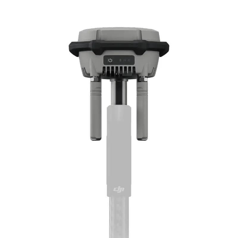
1321.67 € Excl. tax
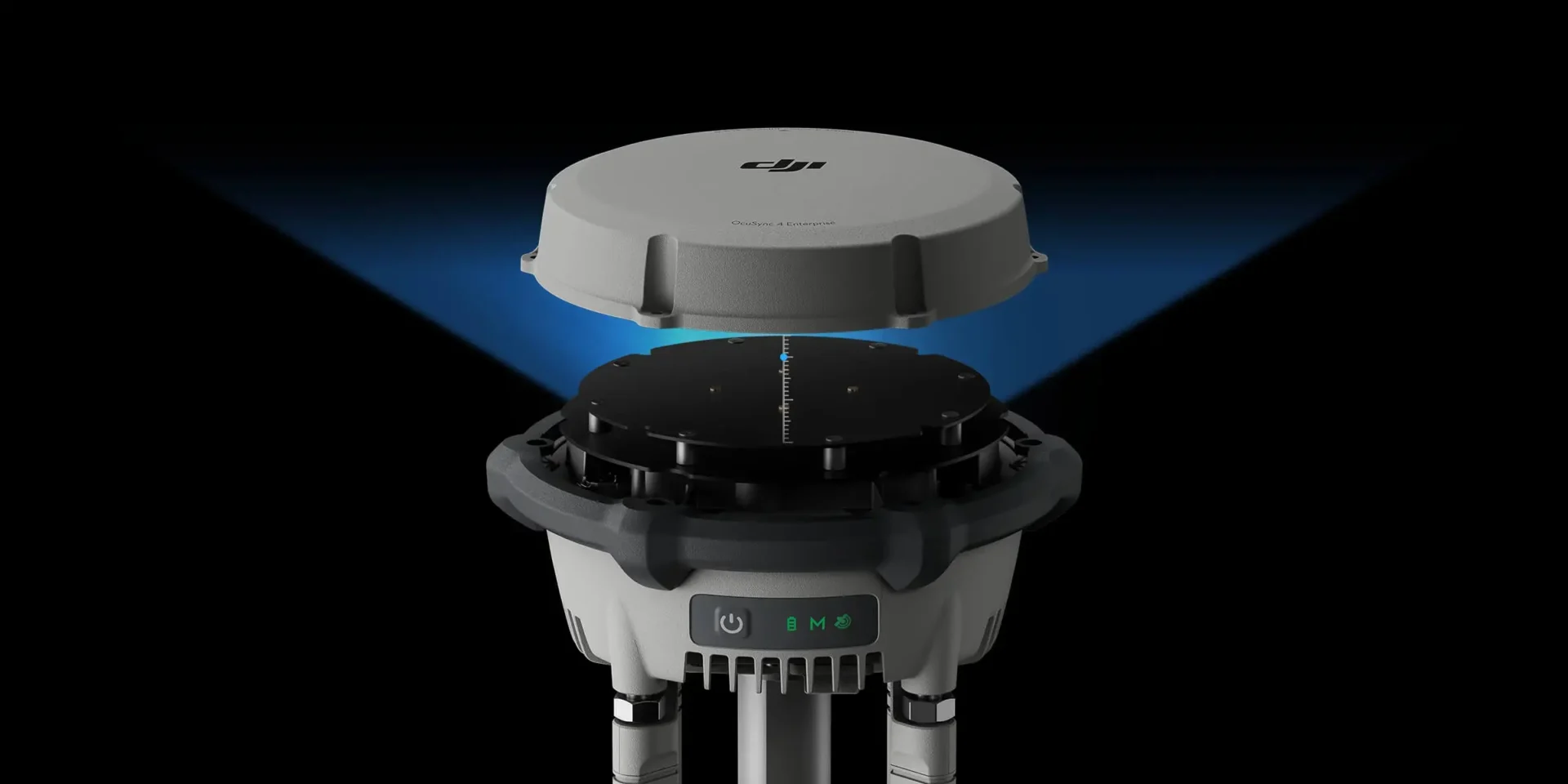

The new D-RTK 3 Multifunctional Station is equipped with high-performance antennas and receivers. It can track and process data from the world’s major global navigation satellite systems (GNSS) and supports multiple data transmission links.
Thanks to these advanced features, it can serve as a reference station, providing centimeter-level positioning accuracy for multiple drones simultaneously. It can also extend the operational range of drones when used in Relay Station mode.
In addition, the new Rover Station mode, combined with the DJI Enterprise app and DJI Terra, provides a comprehensive solution for high-precision aerial surveying. This ensures safe and accurate operations.
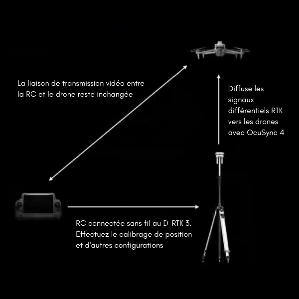
The D-RTK 3 supports the new O4 Enterprise video transmission system with four external directional antennas. This enables video transmission over distances of up to 15 km in Base Station Broadcast mode, while ensuring stable signals in all directions.
Operators only need a single D-RTK 3 Multifunctional Station. Without any additional configuration, multiple drones can connect to the base station and benefit from centimeter-level positioning accuracy.
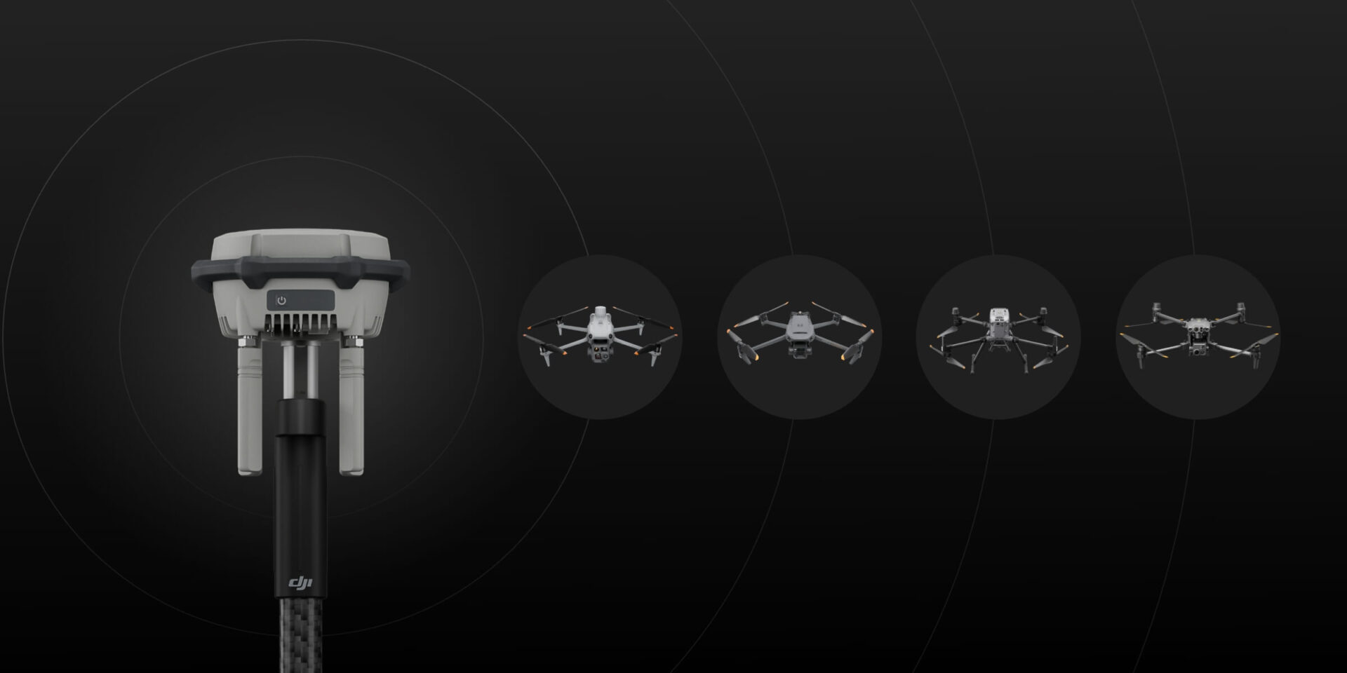
Switch the D-RTK 3 to Relay Station mode and install it in an elevated location in areas where signal obstruction is significant, such as urban environments or valleys. This helps increase the video transmission distance and extend the operational range of the Matrice 4 series to up to 25 km.
The D-RTK 3 supports obstacle detection with the Matrice 4 series, enabling real-time calculations of obstacles and signal quality between the relay station, as well as between the remote controller and the drone.
Operators can also adjust the drone’s position based on the indications provided by the remote controller to ensure optimal communication quality.
In addition to serving as a base station, the D-RTK 3 can also be used as a rover station to collect ground control point coordinates. This improves the accuracy and precision of UAV aerial surveying.
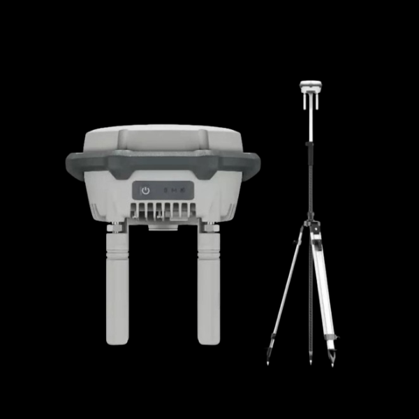
Compact Size : Ø 163 mm × 89 mm, 1.26 kg, fits in the palm of your hand
Physical Buttons : Physical buttons and indicator lights for powering on/off, switching modes, and displaying status
Adaptability : Standard 5/8-inch thread, making it easy to use with third-party tripods. USB Type-C port on the bottom for charging and debugging
OcuSync 4 Enterprise : Four external antennas. Max. 25 km
High-Performance Core : Self-developed RTK chip offering excellent stability, high-performance air-dielectric antenna with physical filtering design, and center-phase accuracy of ≤ 2 mm. Self-developed positioning algorithm with a high received signal-to-noise ratio (SNR)
Long Endurance : 4 h / Relay, 7 h / Base, 10 h / Rover
High Durability : IP67, -20°C to 55°C*
* Tested for a 2 m drop onto a pole
Note : DJI offers an optional self-locking pole and dual-locking tripods, available separately.
Note : In Base Station mode, there is no upper limit on the number of drones that can be connected to a single D-RTK 3.
The D-RTK 3 uses a filtered air-dielectric antenna to effectively track low-elevation satellites. In addition, the antenna’s phase-center accuracy is maintained at the millimeter level, providing strong resistance to multipath interference. This enables high-precision positioning even in complex environments.
Thanks to its integrated receiver module, the D-RTK 3 can receive satellite data from five major satellite systems across 19 frequency bands. Compared with network RTK, the D-RTK 3 provides more accurate and stable positioning results under ionospheric effects.
The D-RTK 3 uses DJI’s proprietary PPP solution, enabling automatic satellite-based convergence. It provides decimeter-level positioning without a network connection, even in challenging network conditions.
* Currently supports BeiDou PPP-B2b only.
The D-RTK 3 can receive RTCM data and automatically obtain accurate coordinates and positioning information via the network. When used outdoors, it can achieve centimeter-level positioning accuracy without the need to pre-survey the installation point.
Operating Steps
Note : The DJI Enterprise app can also be used on the RC Plus 2 Enterprise remote controller. The DJI Enterprise app can be downloaded from the DJI D-RTK 3 product website.
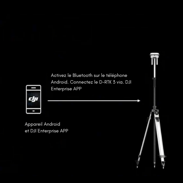
Install the new DJI Enterprise app on an Android device to measure ground control point coordinates without third-party tools. When used with DJI drones that support RTK, the DJI solution can efficiently complete an entire high-precision surveying workflow.
In addition, the D-RTK 3 features a high-precision built-in inertial measurement unit (IMU). This allows operators to measure control points while holding the pole at an angle, without using a tripod, or ensure that the base station is positioned vertically, significantly improving operational efficiency in complex surveying environments.
The new DJI Enterprise app includes a database of commonly used projected coordinate systems, enabling the direct output of planar coordinates.
Rover survey results can be exported as ground control point files through the DJI Enterprise app and imported directly into DJI Terra without requiring any format conversion. High-precision results can then be easily generated using powerful algorithms.
The D-RTK 3 supports the recording of raw satellite observation data. When imported into DJI Terra version 4.4 or later together with data from the Matrice 4E, local PPK calculations can be performed with a single click.